Local Areas and Maps
This ‘Local Areas & Maps’ sub-section of the ‘Places’ section of the website contains information on the parish and civil boundaries, historical maps, manors, and Tithe schedules and maps from 1836. The content is divided into four categories as shown below.
Please select one of the category links below to access the relevant page where more detail is available.
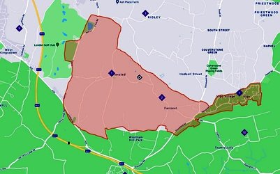
The civil parish boundary covers Stansted and Fairseat, however the ecclesiastical boundary extends to include Vigo village and Vigo church.
The civil parish of Stansted is part of the electoral ward of Wrotham, Ightham and Stansted, which itself is a district within Tonbridge and Malling.
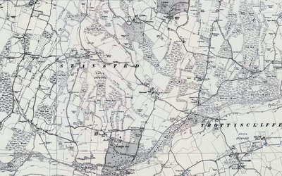
This section contains historical maps of the local area and the wider County.
Of particular note is ‘Symonson’s Map of Kent’ dated 1596 and first published by Stent in 1650.
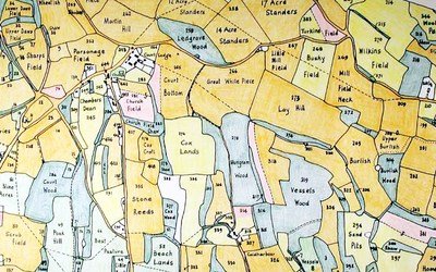
The term Tithe map is usually applied to a map of an English or Welsh parish or township, prepared following the Tithe Commutation Act 1836.
The maps and their accompanying schedules highlighted and listed the names of all owners and occupiers of land, including usage, in a particular parish.
Boundary Map courtesy of ArcGIS CoE Parishes


