Local Boundary Maps
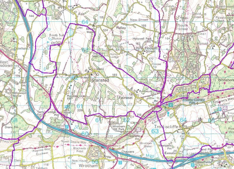
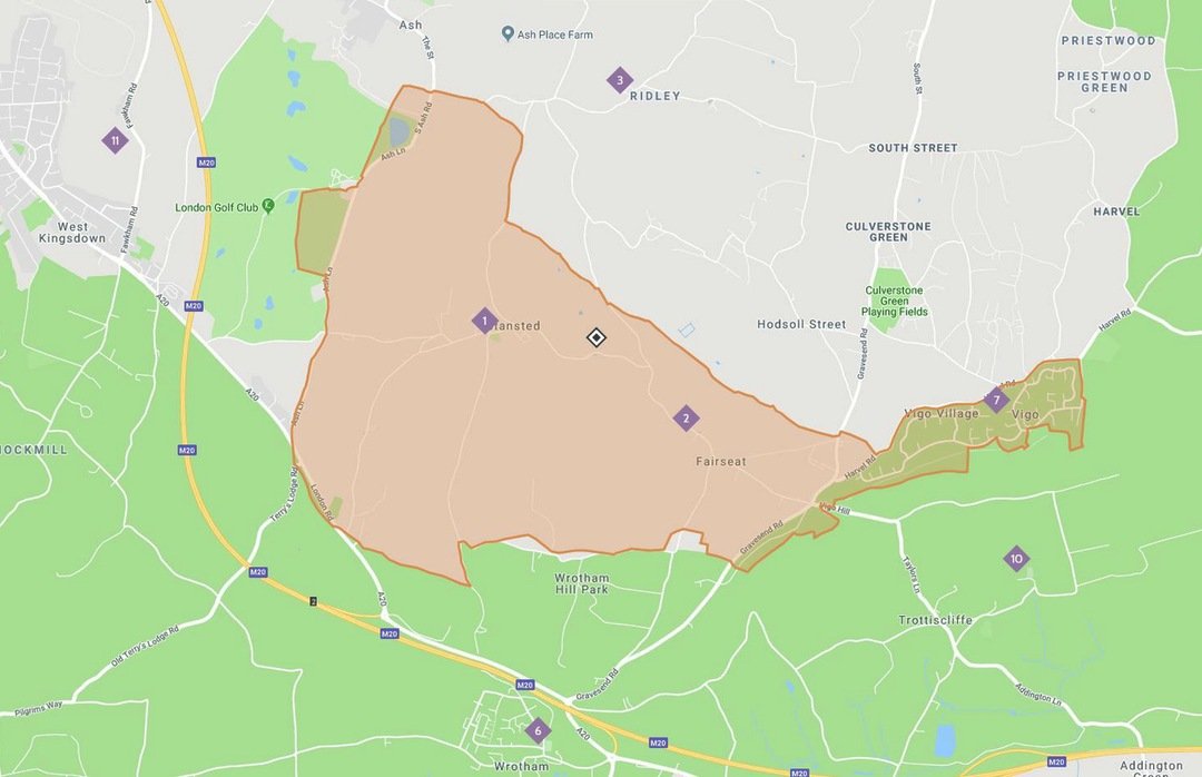
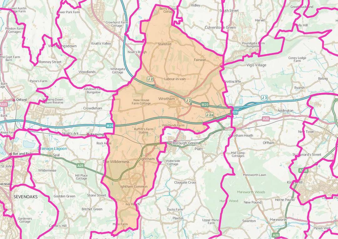
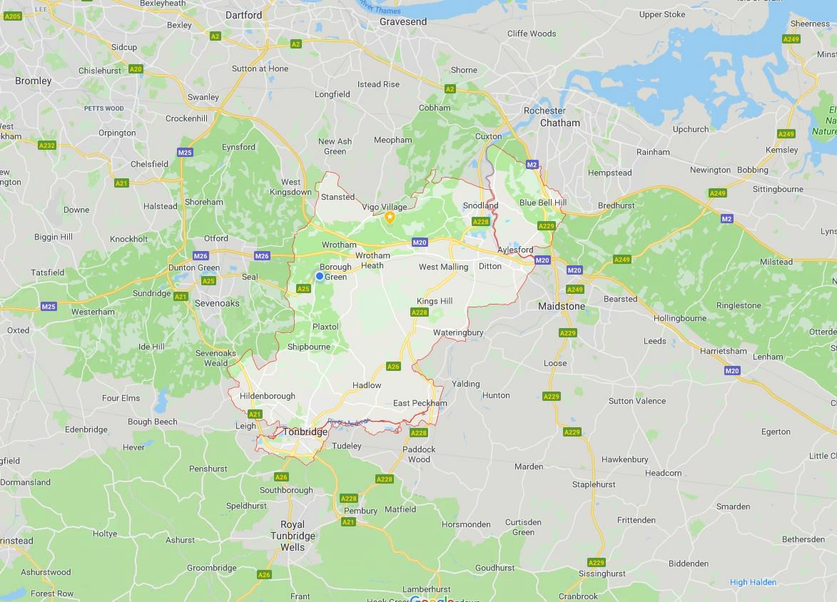
This page within the ‘Places – Maps’ section of the website contains information on both the civil and ecclesiastical boundaries of the parish of Stansted, and the District and Ward boundaries within which the parish of Stansted is based.
Clicking on the maps presented within this section will reveal a full-size version.
Civil Parish
Stansted and Fairseat are no more than one mile from the M20/M26 and A20, yet the villages manage to convey a sense of remoteness and tranquillity. Stansted has a lovely setting of undulating hills of the North Downs, with broad views looking north towards Gravesend and the Thames Estuary. On a clear day Canada Tower at Canary Wharf is clearly visible. Brands Hatch motor racing circuit is only three miles north of Stansted, but a million miles away in terms of noise and commotion.
Stansted Parish Council has been in existence for over 100 years and it encompasses the villages of Stansted and Fairseat. These two villages are nestled on the top of the North Downs and the area has changed very little since the parish council was formed in 1892. The 2011 Census recorded 484 residents in the parish area of 799.13 Hectares.
Ecclesiastical Parish
In 1979 the Rector of Stansted and Fairseat, David Clark was given pastoral responsibility for Vigo Village and in September 1978 started holding a monthly communion service in the village school.
In 1981 the Church Commissioners prepared a draft Pastoral Order to implement proposals by the Bishop of Rochester to transfer areas of Meopham and Trottiscliffe to the parish of Stansted and Fairseat. The proposal would better balance the numbers of residents and create a 2,500 strong evangelical community.
In 1982 the Pastoral Order established the parish of Stansted w Fairseat and Vigo, served by the churches of St Mary the Virgin Stansted, Holy Innocents Fairseat and Vigo Church.
Ward
A ward is a local authority area, typically used for electoral purposes. Wards are usually named after neighbourhoods, thoroughfares, parishes, landmarks, and geographical features.
The ward is the primary unit of English electoral geography for civil parishes and borough and district councils, while the electoral division is the unit used by English county councils and some unitary authorities. Each ward/division has an average electorate of about 5,500 people, but ward population counts can vary.
Stansted parish falls within the District Ward of Wrotham, Ightham, and Stansted. There are 24 wards within the borough of Tonbridge and Malling and the Ward of Wrotham, Ightham, and Stansted is represented by two Borough Councillors.
District
The parish of Stansted is within the Tonbridge and Malling district which is an English local government district with borough status. Tonbridge and Malling Borough covers an area from the North Downs at Burham and Snodland in the north, to the town of Tonbridge in the south.
Tonbridge district can be divided in two distinct areas, which were divided at the beginning of the nineteenth century by the woods and heaths of the ragstone ridge from Great Comp to East Malling. Northwards lies the well peopled Vale of Holmesdale with the market town of West Malling as the principal centre of population, an area crossed lengthways by the railway and M20 motorway; southwards of the ridge is the heavy clay of the Weald and valley of the Medway.


