In 1841 as part of the process of moving from payment to the Church of Tithes (10% of produce) to Tithe Rent-Charges (cash payments), detailed maps of all land in the country were prepared. Tithe maps highlighting the original field and woodland names, together with ownership details, are available under Places>Maps>Tithe Maps
Although some field boundaries/hedges have been removed over the years the field pattern in the Parish is still largely the same as it was in 1841. Where relevant, the reference number and the original 1841 name have been included in the captions for the various images in the photo gallery.
Note: Click on an image to view the original photo size.
Looking east from Plaxdale Green Road towards The Chart, Tumblefield Road. Tithe Ref: The field in the foreground was called Pook Hill (101), Little Thrift Wood (100) and Bawlish (83) beyond the wood.
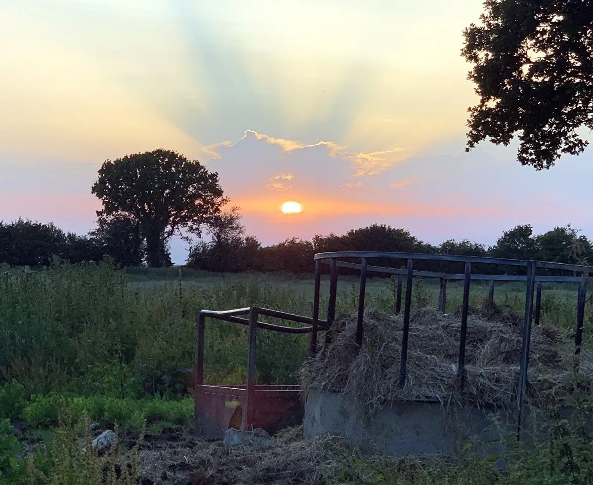
Looking west to sunset across Turkins Field. Tithe Ref: Turkins Field (383).
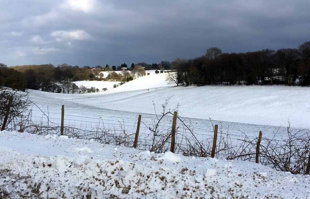
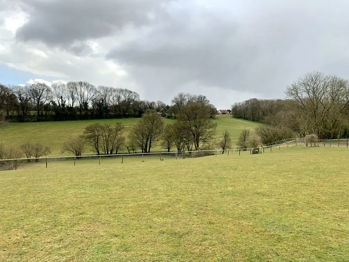
Looking north-east from the top gate of Stansted Recreation Ground. Tithe Ref: Part of Parsonage Field (352).
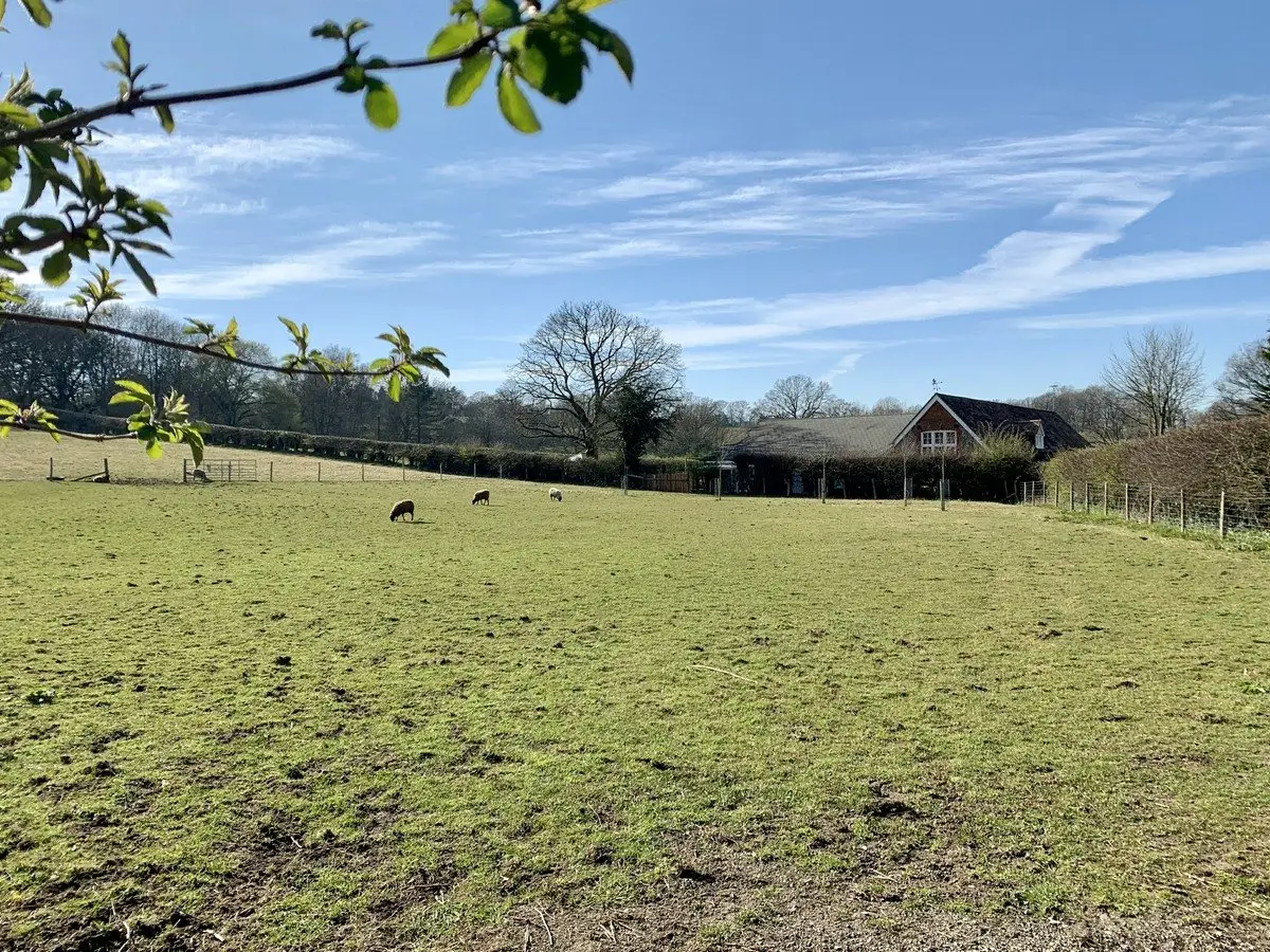
Looking north-west from the Dairy Farm, Vigo Road. Tithe Ref: Wilkins Field (270).
Clamberdene, looking north towards Stone Rocks, Plaxdale Green Road. Tithe Ref: Chambers Dene (245).
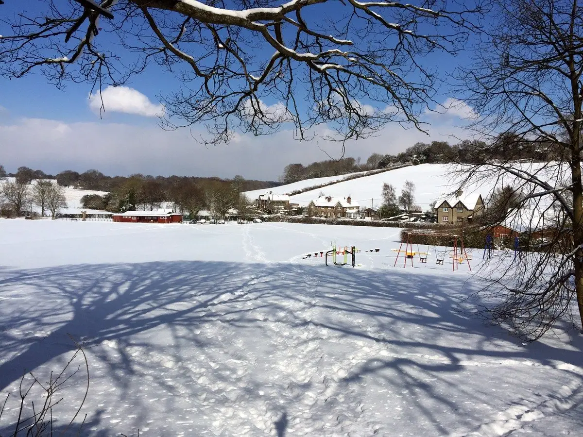
Looking north-west from the War Memorial to Stansted school. Tithe Ref: This was described as a shaw (a small thicket) belonging to the Black Horse Public House (243).
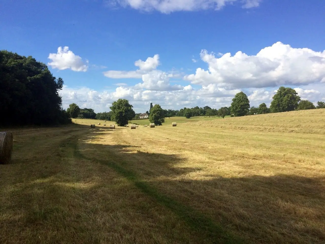
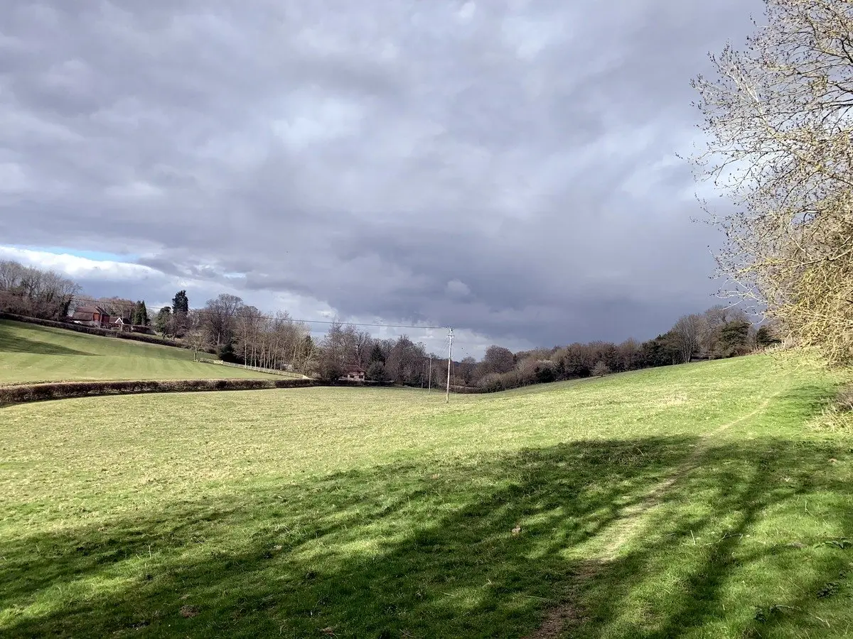
Looking south-east from footpath MR218 behind Buzzards, Hatham Green Lane towards Plaxdale Green Road. Tithe Ref: The area in the foreground was called Nicky Field (176) and the area in the middle distance was called Luckets Field (117).
Looking north from footpath MR210 towards Lords West. Tithe Ref: The first part of this area was Pook Hill (69) then an unnamed part of Haytham Green Farm (13).
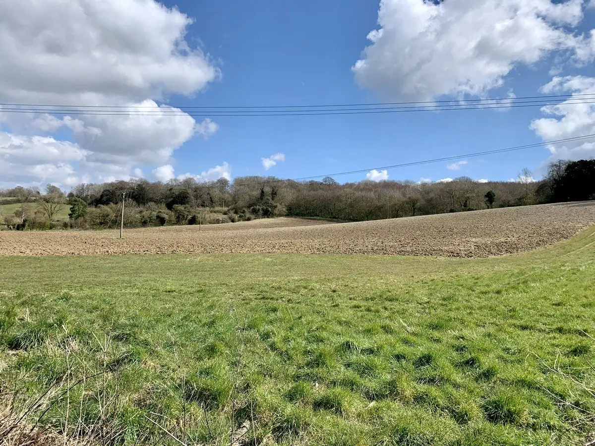
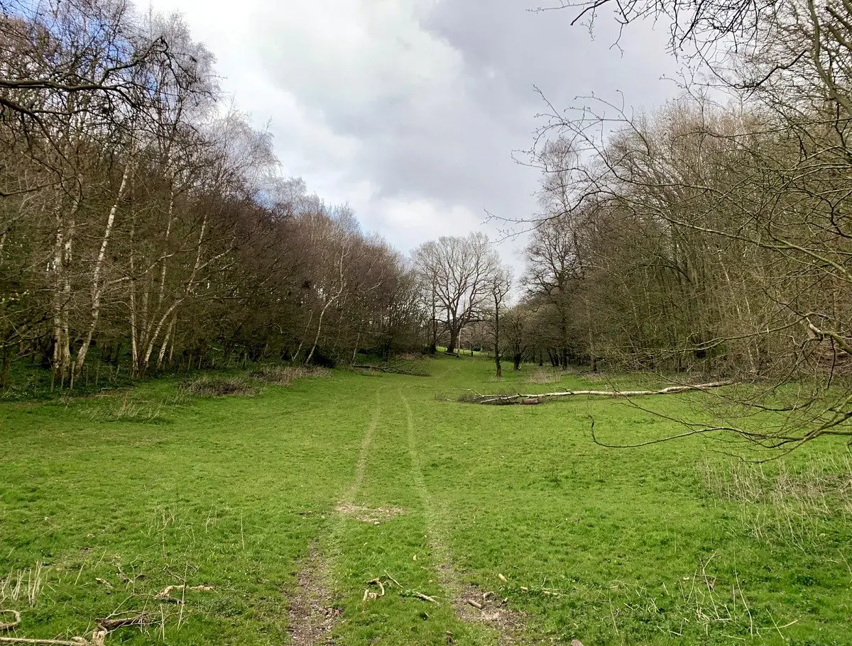
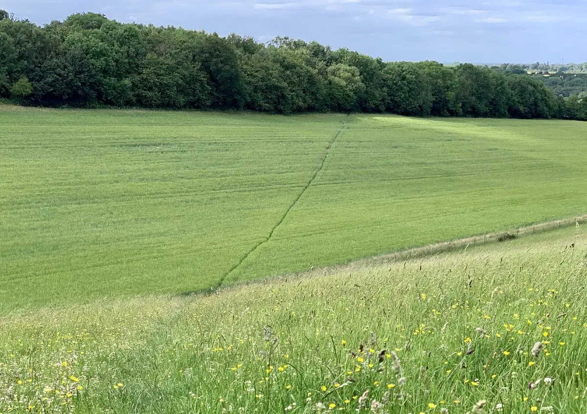
Looking north-west towards Tumblefield Road with footpath MR214 running across the field. Tithe Ref: Cox Lands (ref. 276) Court Bottom (ref. 265) is to the right of the footpath.